Back to blog
Nov 6, 2025
Case Study

A New Era of Aerial Wildfire Intelligence
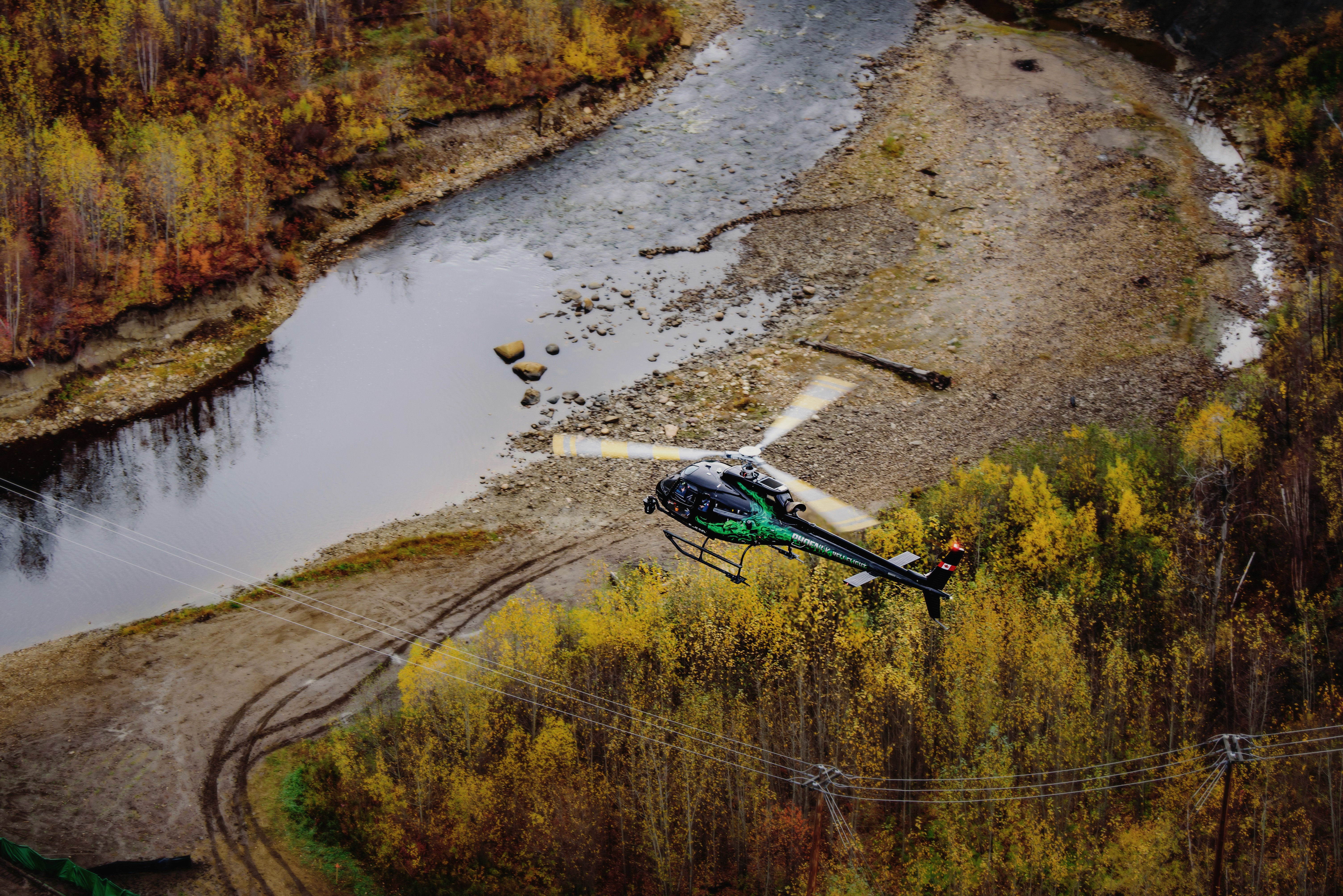
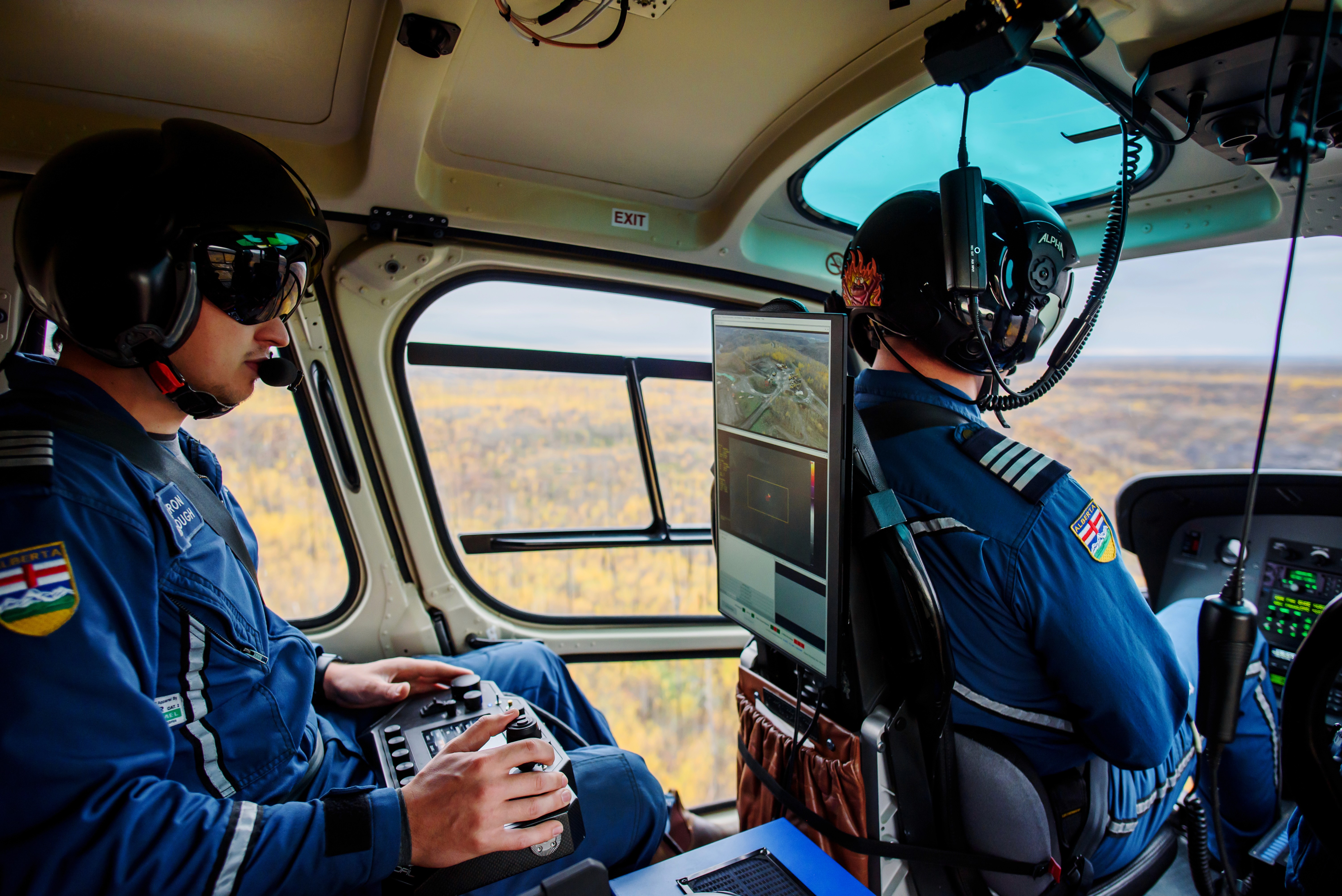
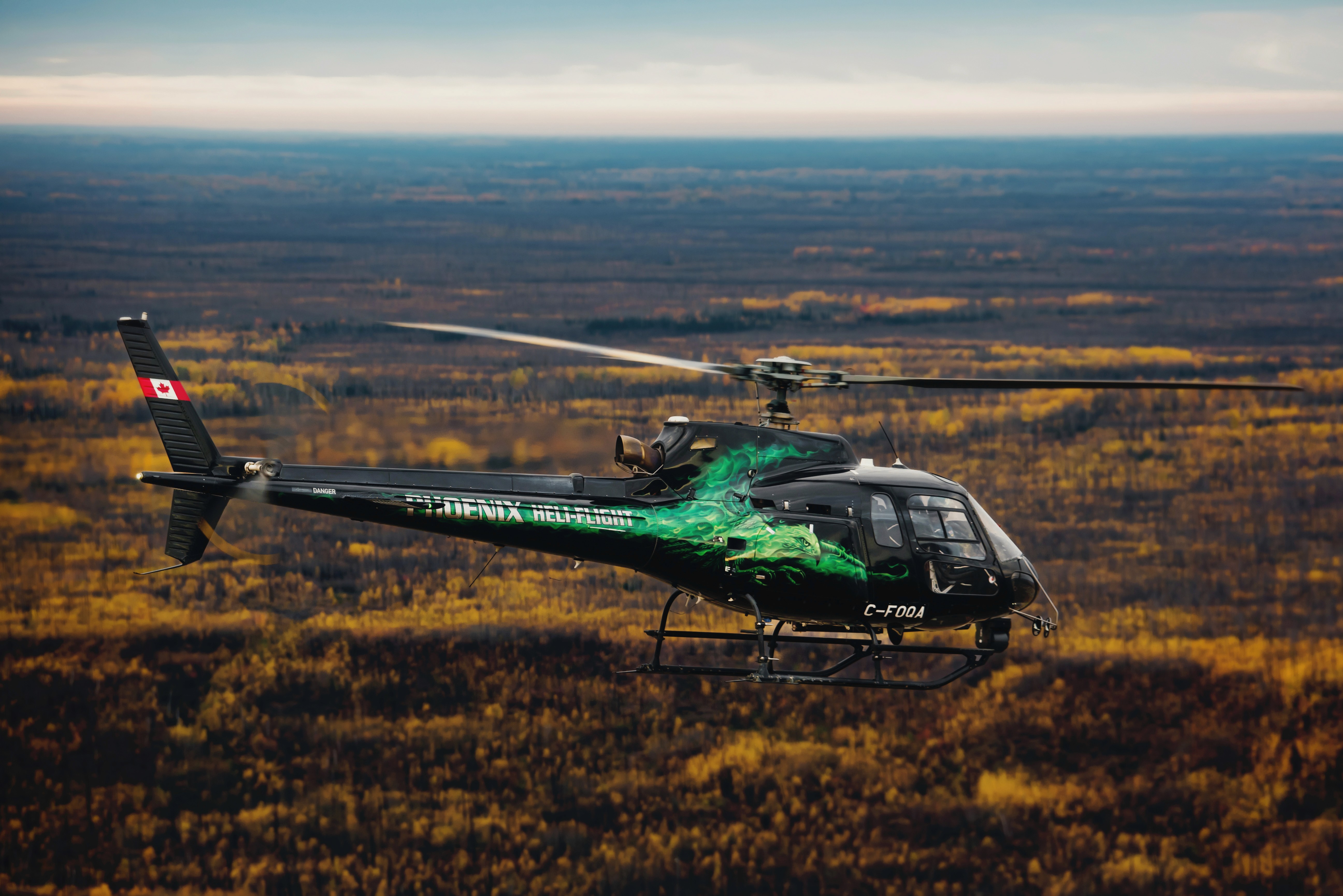
When Alberta’s wildfire season ramped up, Phoenix Heli-Flight was ready to deliver actionable wildfire intelligence to the Province. Using the OFIL Airborne ROMLite gimbal paired with Nova’s all-in-one fire mapping software, Phoenix transformed its inspection helicopter into a high-performance wildfire mapping platform; now capable of scanning over 7,500 acres per hour and delivering hotspot maps to field crews in time for morning briefings.
Traditional search-and-identify methods for helicopter-based hotspot detection are inefficient and often result in missed hotspots across the landscape. Operators often spend hours flying in circles, spotting heat, and placing GPS points on maps later handed to Incident Command. For small areas under a hundred acres, this workflow may be sufficient; however, in real-world operations, Operations Chiefs and Incident Command demand far larger and more complex objectives. Phoenix wanted a solution that would not only meet but exceed this demand—one that could cover large areas quickly, deliver precise hotspot data, and generate ready-to-use maps without the need for additional onboard GIS staff.
Integration for Smart Missions
Through a collaboration between OFIL Airborne and Nova, Phoenix paired a powerful sensor with purpose-built software to not only meet but exceed its contractual requirements with Alberta. The result was a plug-and-play solution that allows operators to efficiently grid-scan large areas or fire perimeters—focusing on the mission while the software analyzes, identifies, and maps hotspots for fire agencies.
“The combo of OFIL’s HD and 4K sensors with Nova’s AI mapping tools gives us incredible efficiency in the air,” said Cameron Spring, Operations Manager at Phoenix Heli-Flight. “On one recent fire, we were capturing more than 5,000 hectares (12,000 acres) in just 2.5 hours. This huge rate of capture and quick data turnaround is especially useful on the big, fast-moving fires we’re seeing more of.”
The Future of Firefighting from Above
This collaboration marks a turning point in aerial wildfire intelligence. By integrating Nova’s thermal mapping and hotspot detection tools into manned helicopter operations, Phoenix Heli-Flight is redefining what’s possible in wildfire response. The partnership demonstrates how aerial innovation, automation, and seamless integration can enhance operations—improving safety, saving time, and optimizing public-safety resources.
Thoughts for the future of these operations from Nova’s Director of Business Development, Daan Arscott:
“Nova’s tools have been supporting crews for over a decade but bringing them into manned helicopter operations changes the game. Helicopters can stay in the air longer and reach farther than drones, and when you pair that with automated hotspot detection that can catch something the size of a fist, the result is next level. We’re excited to see Phoenix Heli-Flight working with Nova and OFIL to deliver wildfire intelligence products never before available to fire agencies.”
Check out the OFIL Airborne press release for more information on how this collaboration is bringing wildfire mapping to utility helicopters.
Start for free today.
Craft the future. Respond to the present.