Back to blog
Jan 12, 2026
Case Study

When incidents involve hazardous materials, restricted access, or evolving environmental risk, the difference between uncertainty and clarity often comes down to one thing: situational awareness. That was the focus of a recent multi-agency UAS exercise hosted by the San Joaquin Drone Operations Group (SJDOG) at the Port of Stockton. A large-scale training exercise, designed to test how aerial intelligence supports complex emergency response operations.
Nova joined the exercise as a technology partner, working alongside firefighters, law enforcement, emergency management, and hazardous materials teams to demonstrate how modern drone software can transform aerial data into actionable insight.
A Realistic Training Ground for Real-World Risk
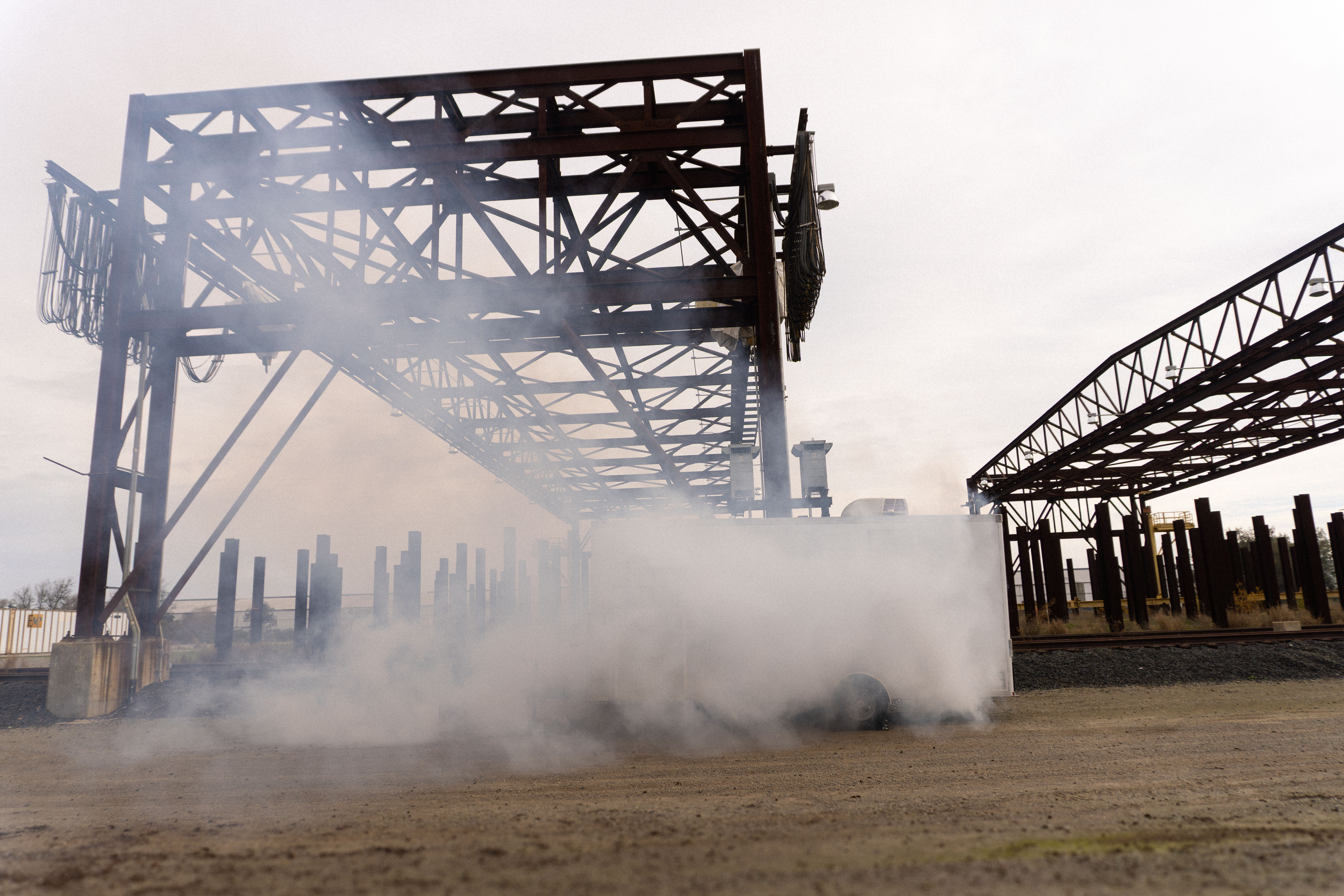
Held on December 19, 2025, the exercise brought together more than a dozen Operational Area partner agencies for a coordinated response simulation at one of the region’s most critical infrastructure sites. The Port of Stockton provided an ideal environment to test response strategies involving industrial hazards, rail infrastructure, waterways, and limited-access zones.
The exercise scenarios and overall design were developed by Jordan DeStefans and Lowell Barber of the San Joaquin County Office of Emergency Services, in collaboration with Chief Marty Cornilsen of the French Camp Fire District / Mountain House Fire Department.
The training centered on two hazardous materials scenarios that mirror real risks faced throughout San Joaquin County, where transportation corridors and sensitive ecosystems intersect with populated areas.
Coordinating the Airspace: Multi-Agency UAS in Action
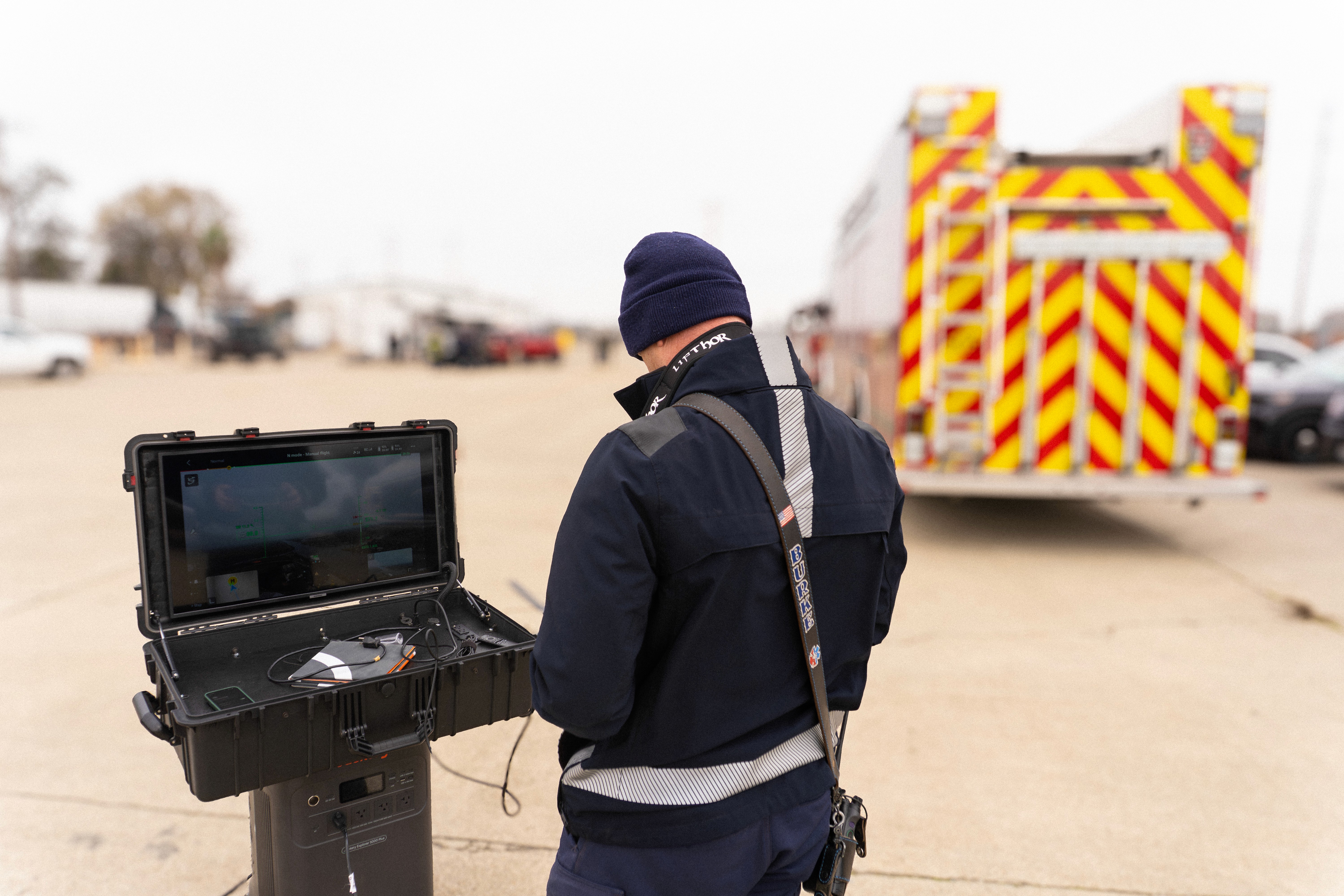
At peak activity, up to eight drones operated simultaneously, coordinated under a structured airspace plan to ensure safe, deconflicted flight operations. Agencies from fire, law enforcement, emergency management, and state partners participated with many operating different drone platforms and configurations.
Chief Jason Fulmer of the French Camp–McKinley Fire District served as Air Boss, assigning call signs and altitude “levels” (such as 200 ft and 150 ft) to each aircraft. This approach reinforced a critical takeaway: large-scale drone operations are not only feasible, but highly effective when communication, planning, and standardized workflows are in place.
Participating agencies included:
• CalOES
• French Camp Fire District
• Lathrop-Manteca Fire District
• Lodi Police Department
• Manteca Fire Department
• Mountain House Fire Department
• Port of Stockton
• Tracy Police Department
• Sacramento Metro Fire
• San Joaquin County Board of Supervisors
• San Joaquin County Office of Emergency Services
• San Joaquin County District Attorney’s Office
• San Joaquin County Sheriff’s Office
• San Joaquin County ISD
• South San Joaquin County Fire
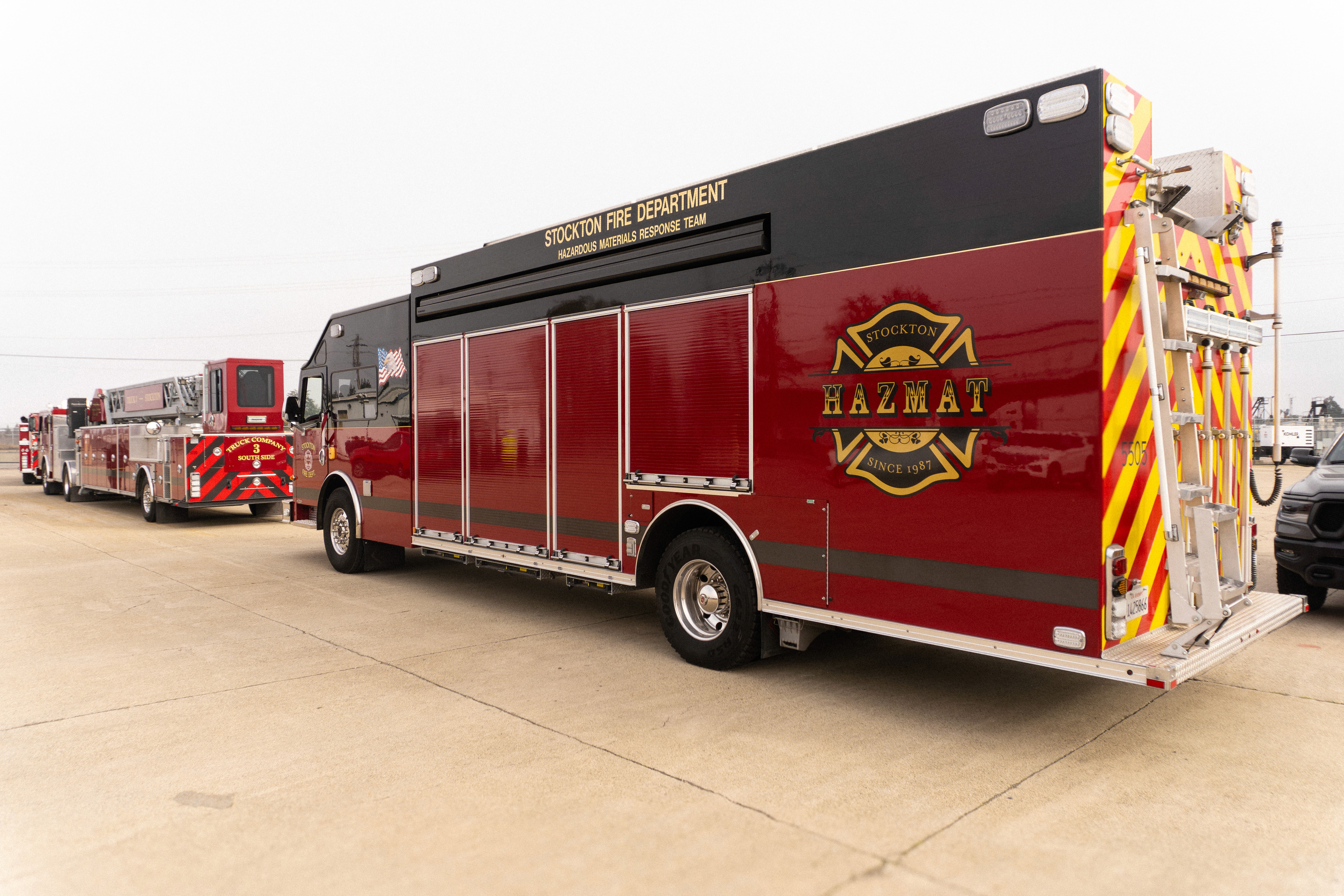
• Stockton Fire Department
Scenario One: Rail Car HAZMAT Release
The first simulated incident involved a hazardous materials release from a rail car. Objectives focused on identifying the substance, determining the impacted area, and searching for potential victims.
Multiple drone teams provided live aerial coverage, while panoramas and orthomosaics offered command staff a comprehensive view of the scene layout, without placing responders in harm’s way. Live Streaming enabled real-time decision-making, allowing leadership to assess conditions visually rather than relying solely on radio reports.
By replacing verbal descriptions with shared aerial context, teams were able to operate with clarity and confidence instead of guesswork.
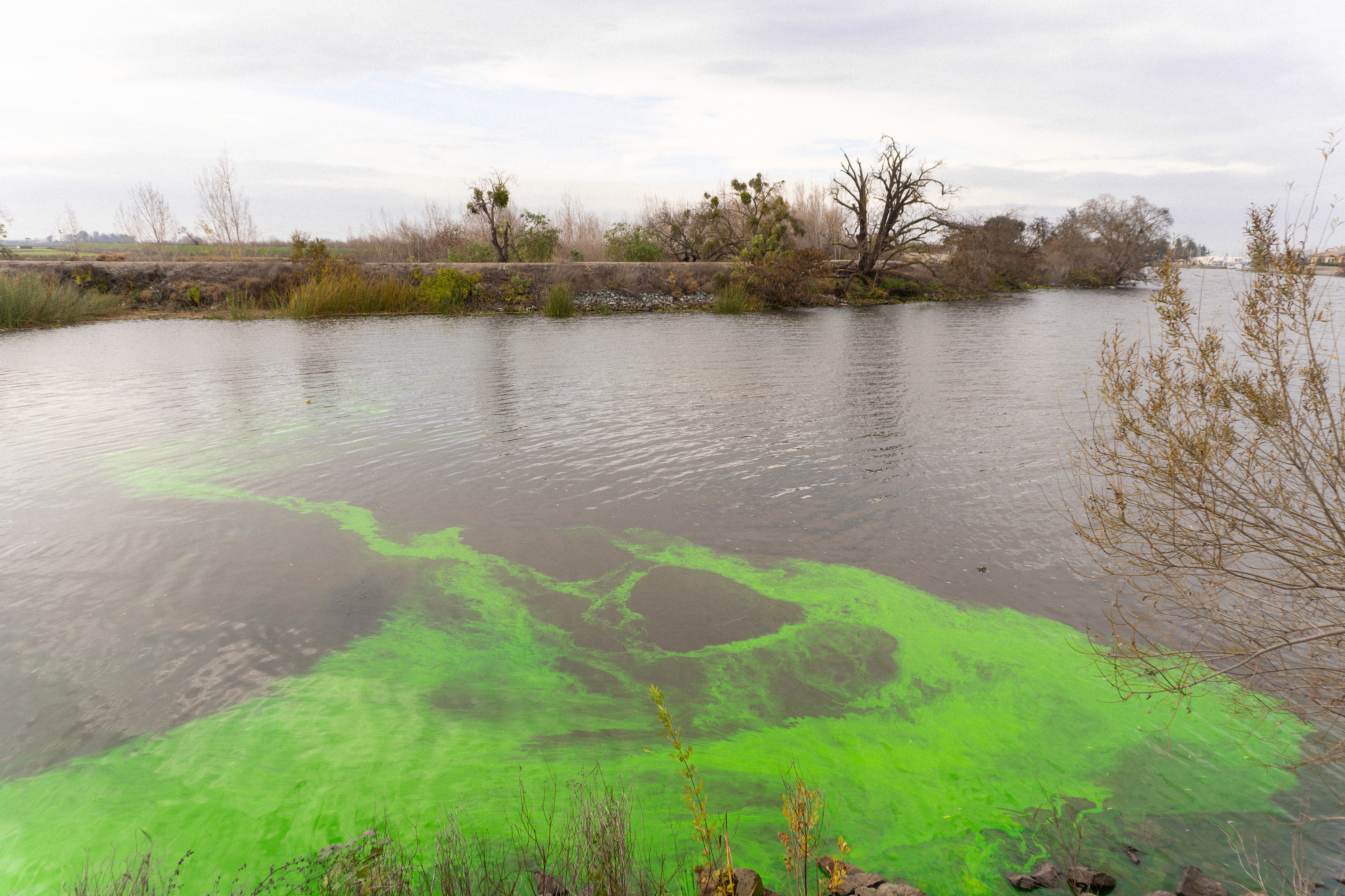
Scenario Two: HAZMAT Release into a Waterway
The second scenario introduced environmental and public health considerations with a simulated hazardous release into a waterway using safe materials to practice containment. Objectives included mapping the affected area, searching for victims, and assessing potential wildlife and environmental impact.
This scenario was partially informed by real-world incidents previously supported by the San Joaquin County Office of Emergency Services UAS team, including the Mazapeta Tug sinking in 2023 and a hazardous waste dumping incident into the Smith Canal in 2024.
This exercise aligned with ongoing regional concerns around harmful algal blooms (HABs) and cyanobacteria in the California Delta. Certain species, such as Microcystis aeruginosa, can produce toxins that contaminate water and aquatic life making documentation and observation especially critical.
Drone imagery, paired with tools like Colorfinder, demonstrate how responders can highlight visual anomalies in water coloration, track spread patterns, and document conditions over time. These capabilities support both immediate response efforts and longer-term environmental monitoring.
Training Today for Tomorrow’s Incidents
This exercise wasn’t about technology for technology’s sake. It was about preparing responders for incidents where speed, coordination, and safety are non-negotiable. For agencies that are drone-curious, using traditional methods, or anywhere in between, the takeaway is clear: aerial intelligence is no longer optional for complex response operations.
By reducing responder exposure, accelerating decision-making, and creating a shared operating picture across disciplines, UAS programs are bringing change to how public safety teams prepare and respond.
Nova is proud to support agencies across San Joaquin County as they train, test, and refine these workflows—before the next real-world incident demands them.
Interested in how these capabilities could support your agency?
Explore additional case studies or book a demo with our product experts!
Start for free today.
Craft the future. Respond to the present.